

Weather has always mattered to warfighters.
Sometimes it changes the outcome of a battle. Sometimes it means the difference between life and death. Eisenhower credited his meteorologists as one reason the Allied invasion of Normandy succeeded. They gave him the information he needed to make a decision at a moment when weather meant the difference between victory and defeat.
This underpins a simple reality: Weather does not accommodate the mission. The mission accommodates the weather.
That is why the Pentagon should be paying attention to the El Nino forecast now. Whatever one’s views on long-term climate trends, the military still has to operate in the weather it actually experiences. And the weather forecast for the second half of 2026 is giving the Department of Defense something commanders rarely get before disruption arrives: months of notice.
On June 12, the National Oceanic and Atmospheric Administration (NOAA) declared that El Nino had formed, and current forecasts suggest it may become a very strong event by fall or winter, one of the strongest in the modern record.
That means significant warming of the Pacific Ocean will influence the broad weather patterns we experience through the rest of the year. It cannot tell us when and where extreme weather will hit, but it is a significant threat indicator.
NOAA is forecasting a below-normal Atlantic hurricane season. At the same time, El Nino conditions tend to shift typhoon activity eastward in the Pacific, toward Guam and the Marianas.
The region’s exposure is not hypothetical. This year, Guam and the Northern Marianas have already been hit by two major typhoons. Typhoon Sinlaku brought widespread blackouts, flooding, and infrastructure damage in April. Super Typhoon Bavi followed in July, its eye passing over Rota, leaving severe outages and flooded roads on Guam and Saipan while thousands were still recovering from the first storm.
Whatever the forecast holds, these storms are a reminder of what installations in the region face. The El Nino outlook says: Be ready for more.
The Pacific is not the only concern. El Nino is also expected to reshape weather across the United States as the year progresses, especially this winter.
NOAA’s historical outlooks associate El Nino with a stronger southern storm track: wetter conditions across the southern tier of the country; a greater risk of heavy rain and flooding in parts of California, the Gulf Coast and the Southeast; and a generally warmer northern tier.
For the military, that is not an academic forecast. It means installations across the South and Southwest may have to contend with more flooding, more drainage and access problems and more interruptions to training and maintenance, just as they are already operating through a punishing summer.
Heat stress remains part of the story as well.
Training bases in the South already face more days above safe thresholds for strenuous outdoor activity. El Nino will not create that problem, but it arrives on top of it, extending a year in which commanders may have to manage both the immediate effects of extreme heat and the prospect of a wetter, stormier winter ahead.
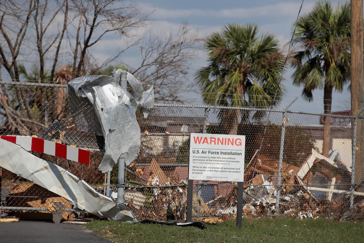
Years ago, after Hurricane Michael devastated Tyndall Air Force Base in 2018, I asked the base commander what he would have done if he had six months’ warning that the storm was coming. His answer was revealing. He did not begin with a five-year military construction plan or a new regulatory framework. He talked about operations. He would have done more hurricane drills. He would have made sure his people knew what to do. He would have prepared the force to absorb the shock.
That is the right way to think about this El Nino forecast. Six months of warning is not enough time to redesign a vulnerable installation. It is enough time to prepare to operate through disruption.
For commanders and installation leaders, that preparation is not mysterious. It means testing continuity plans and making sure the mission-essential functions of a base can continue if normal operations are interrupted. It means checking backup power, fuel, water, communications, drainage and access routes before a storm or heat emergency exposes the weakness for you. It means revisiting training calendars and work-rest cycles in places where extreme heat is increasingly likely to interfere with readiness. And it means asking the basic operational question: If a storm takes this installation offline for a week, what absolutely has to keep functioning?
The larger lesson is not limited to this one forecast.
El Nino will pass, but the baseline it returns to is not the baseline of thirty years ago. Each of these events now arrives atop a warmer ocean atmosphere, which means the same seasonal pattern delivers more water, more heat and stronger storms than its predecessors did. That is not a policy argument; it is an input to planning.
Another seasonal forecast will take this one’s place. Another storm season will come. Another heat wave will test the assumptions built into training schedules and installation operations. The military does not have the luxury of ignoring those warnings because they arrive under the label of “weather” rather than “war.” The weather is part of the operating environment. It always has been.
The Pentagon cannot control the weather, but it can use the intelligence it has been given. El Nino is a threat warning. The military should treat it like one.
John Conger served as the U.S. principal deputy under secretary of defense (comptroller) from December 2015 to January 2017.