

4 min readNew DelhiAug 8, 2026 07:08 AM IST
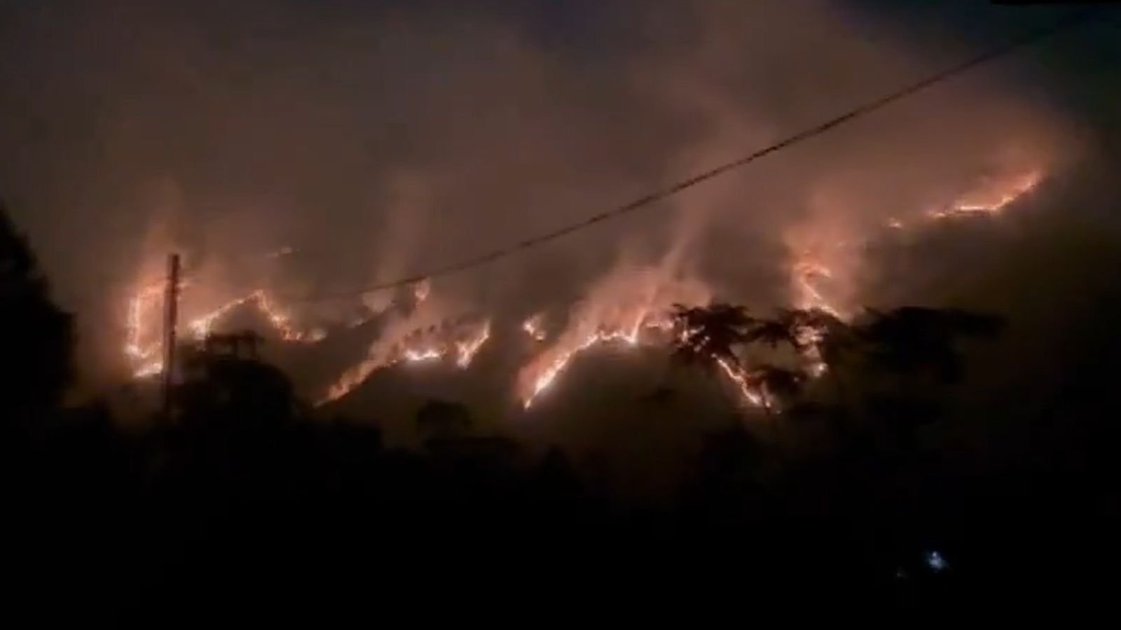
Flagging gaps in monitoring, regulation, and management of forest fires, a parliamentary standing committee has made a slew of prescriptions, including prioritising the launch of a geostationary satellite for round-the-clock monitoring. The recommendations were made in a new report — ‘Forest fires in the Himalayan Region, its adverse effects and mitigation measures’ — tabled in both Houses of Parliament on Friday.
The House panel on Science and Technology, Environment, Forest and Climate Change headed by BJP MP Medha Kulkarni also recommended a region-specific study to establish if there is any empirical link between climate change and forest fire frequency, including examination of temperature trends, precipitation, and dry spells. Pointing out gaps, the panel also called for a time-bound decision on setting up at least two regional response centres of the National Disaster Response Force (NDRF), dedicated to tackling forest fires in the Himalayan region.

The panel called for a ‘National pine-needle utilisation policy’ to identify zones and provide fiscal and market-access incentives for pine needle collection.
The panel examined the causes, impacts, monitoring, and mitigation of forest fires in states across Western and Eastern Himalaya, which make up 17 per cent of India’s landmass but account for 57 per cent of India’s forest fire incidents.
The panel’s recommendations on prioritising a dedicated satellite were made after it noted that the country’s active fire monitoring remains dependent on foreign, polar-orbiting satellites, which observe the country only eight times a day and no data is available for a large duration. The Centre itself characterised this as a “critical observational gap in the diurnal fire monitoring cycle”. The Forest Survey of India currently generates satellite-based forest fire alerts using the AQUA and Suomi-NPP foreign satellites.
The committee said, “…Even after so many years of using satellite technology and despite India being a leader in the space sector, the country is still relying on foreign satellites for monitoring of forest fires … the committee, therefore, urges the Department of Space to prioritise the launch of a geostationary satellite capable of round-the-clock monitoring of forest fires.”
Across 13 states in the Himalayan region, Uttarakhand recorded the highest fire incidents between 2019-20 and 2023-24 based on finer resolution data. Manipur, Himachal Pradesh, J&K, Arunachal Pradesh, Assam, Meghalaya and Mizoram also recorded a high number of fire incidents, the report said.
Story continues below this ad
Contrasting dynamics
Based on submissions, the House committee noted that the fires in Western Himalaya are primarily driven by extreme pre-monsoon heat, pine-needle fuel loads and proximity-based human ignition, whereas, there is a complex interplay of atmospheric dryness and cultivation-linked burning practices in Eastern Himalaya.
The committee also noted that of the alerts that the Uttarakhand government received from the Forest Survey of India, only 12.5 per cent corresponded to verified fires. A high proportion of false positives carries the real risk of alert fatigue among the staff, who may over time come to treat alerts as routine rather than actionable, the committee noted.
On regulation, the panel questioned the government on whether a new central law such as ‘National Forest Fire Management Act’ was needed to create a legal framework for early warning systems, firefighting infrastructure and penalties for negligence. In response, the Environment Ministry stated that a national action plan for forest fires currently addresses forest fires, which is aided through working plans, compensatory afforestation funds and a disaster management framework.
The committee, however, asked the Centre to undertake a careful review of existing forest laws to safeguard forest communities and forest ecosystems.
Based on submissions, the committee also noted that Western Himalayas and Eastern Himalayas face contrasting forest fire dynamics. The fires in Western Himalaya are primarily driven by extreme pre-monsoon heat, pine-needle fuel loads and proximity-based human ignition; whereas there is a complex interplay of atmospheric dryness and cultivation-linked burning practices in the Eastern Himalaya.